Accelerate Projects and Expand Capabilities: Demo videos showcasing workflow optimization for your industry
Accelerate Projects and Expand Capabilities: Demo videos showcasing workflow optimization for your industry
21 different features in 17 minutes.
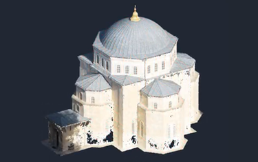
A smart utility for digitization
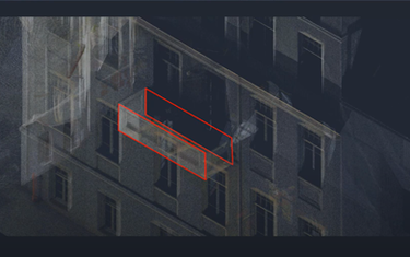
Creation of double lines such as curbstone, facades, walls, by referring to the heights in the point cloud.
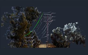
Digitization of wired infrastructure (power cables, telephone, etc.) by Point cloud.
Creating dynamic slice "Salami style" and break lines by Point cloud.
Creating surrounding sections by inner axis.
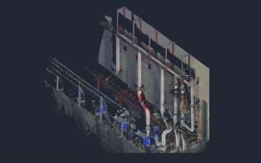
A solution to the main problem in pipe modeling which is finding the diameter and determine the center point of pipes. A process that can also be done with a minimum of scanning points.
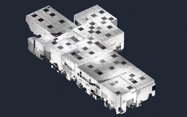
Drawing a floor plan according to dynamic sections of the point cloud and getting area calculations and more.
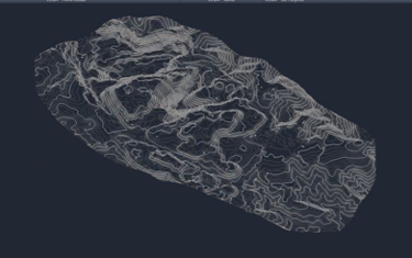
Creating dynamic contour lines by point cloud, with options of coloring and labeling.
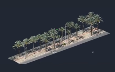
Creation of a tree survey plan from the point cloud. In this process, we number the trees and obtain the diameter data at a required height. The data can be exported to an external table.
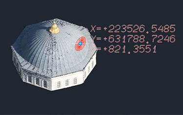
Projecting a 2D map onto Point Cloud.
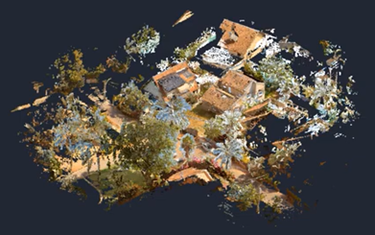
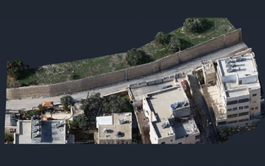
An example of Archaeological site mapping via Point cloud digitization